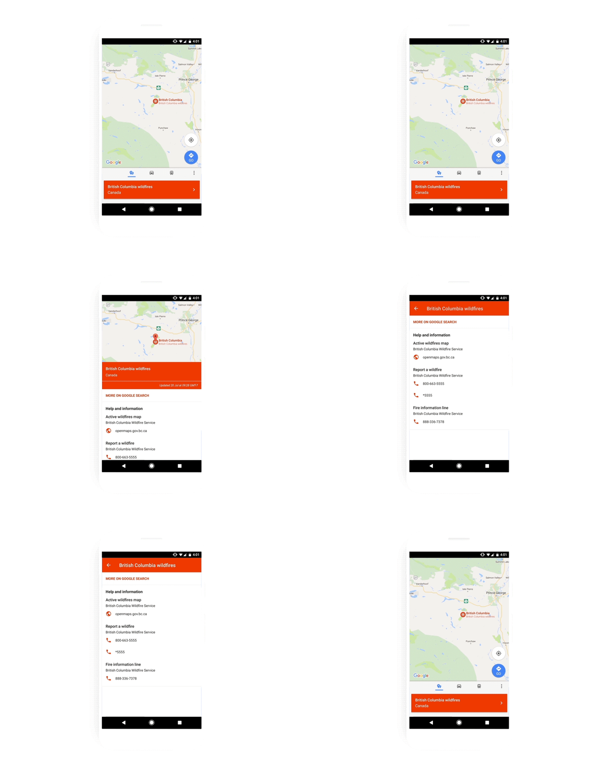
If Google Maps has been helping you navigate your way around the city, it will now help you to do more, especially during natural emergencies.
Google Maps’ SOS Alerts feature, which was introduced two years ago, is now updated with real time information regarding natural disasters with navigation warnings that will help users escape or avoid natural disasters.
How cool is that?

According to Digital Trends, the new feature will allow users to see, in detail, visuals of natural disasters like hurricanes, floods or earthquakes, thus warning them to avoid the said areas.
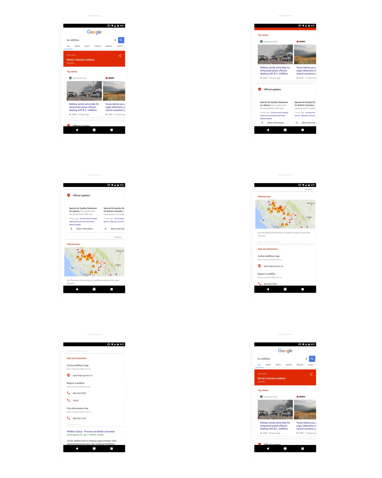
The SOS alert feature also provides a summary of the disasters, relevant news stories, emergency phone numbers and updates from the local authorities.
You'll also get snippets of stories and tweets from first reponders, too.

Those living near hurricane-prone areas, meanwhile, will receive a crisis notification card days before it hits. The card will include links related to the expected time it will hit, among other things.
For earthquakes, a shakemap will be displayed, complete with colour-coded visuals to show the intensity of the shaking.
For floods, areas that are likely hit will be forecasted. However, the feature is only available in India for now.
Although we Malaysians are pretty lucky because we don't need to go through natural disasters such as earthquakes or hurricanes, we still hope that the feature will make its way to our shores because we are, after all, pretty prone to floods and flash floods.
Google Maps’ SOS Alerts feature, which was introduced two years ago, is now updated with real time information regarding natural disasters with navigation warnings that will help users escape or avoid natural disasters.
How cool is that?

According to Digital Trends, the new feature will allow users to see, in detail, visuals of natural disasters like hurricanes, floods or earthquakes, thus warning them to avoid the said areas.
The SOS alert feature also provides a summary of the disasters, relevant news stories, emergency phone numbers and updates from the local authorities.
You'll also get snippets of stories and tweets from first reponders, too.

Those living near hurricane-prone areas, meanwhile, will receive a crisis notification card days before it hits. The card will include links related to the expected time it will hit, among other things.
For earthquakes, a shakemap will be displayed, complete with colour-coded visuals to show the intensity of the shaking.
For floods, areas that are likely hit will be forecasted. However, the feature is only available in India for now.
Although we Malaysians are pretty lucky because we don't need to go through natural disasters such as earthquakes or hurricanes, we still hope that the feature will make its way to our shores because we are, after all, pretty prone to floods and flash floods.


